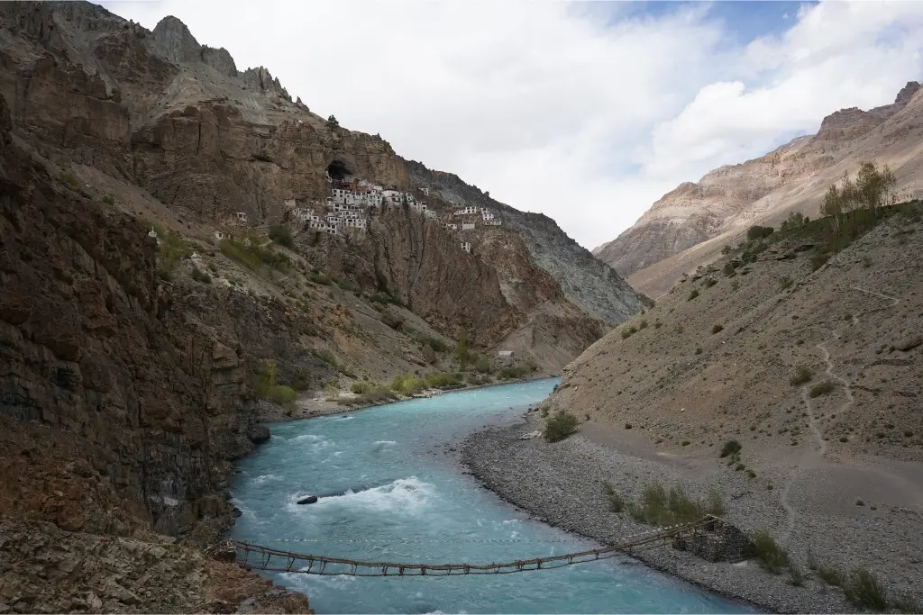
The Ultimate Himalayan Adventure

13 Days
Duration

Advanced
Tour Level

July to October
Ideal Time
READ LESS
83 km
Distance
3 hrs
Saddle Time
Manali to Gemur
🏁 Starting altitude – 6750 ft
🚩 Ending altitude – 10800 ft
↕️ Elevation change – 4050 ft
🔝 Max altitude – 10800 ft
🛑 Stoppage time – 2 hrs
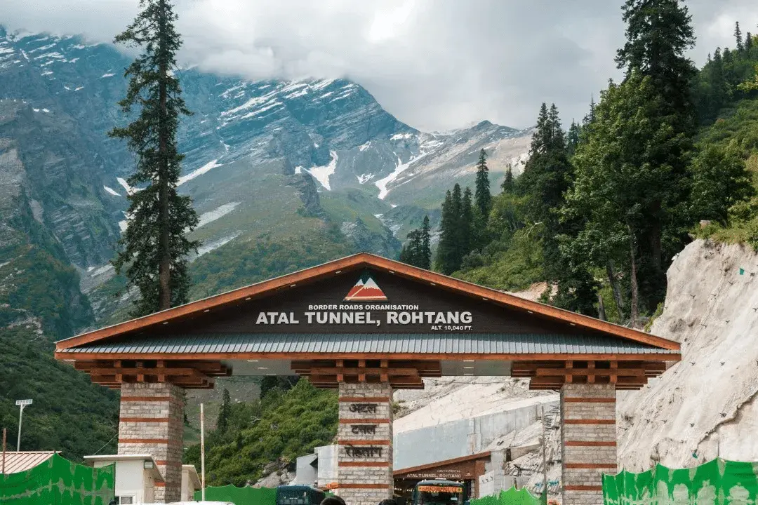
We cross the Atal Tunnel and the north portal of this 9 km tunnel opens up in to a wonder land of very tall mountains, crisp fresh air and crystal clear gurgling brooks. This day is a short ride to set the mood and more importantly acclimatize to high altitude. This is very essential to safely ride a motorcycle in Zanskar. The average altitude in Zanskar is 12,500 ft. So rest well, go for long walks along the river, hydrate well and generally take it easy. Avoid alcohol in the evening and night.
READ MORE
93 km
Distance
4 hrs
Saddle Time
Gemur – Purne
🏁 Starting altitude – 10800 ft
🚩 Ending altitude – 12650 ft
↕️ Elevation change – 1850 ft
🔝 Max altitude – 16550 ft
🛑 Stoppage time – 3 hrs
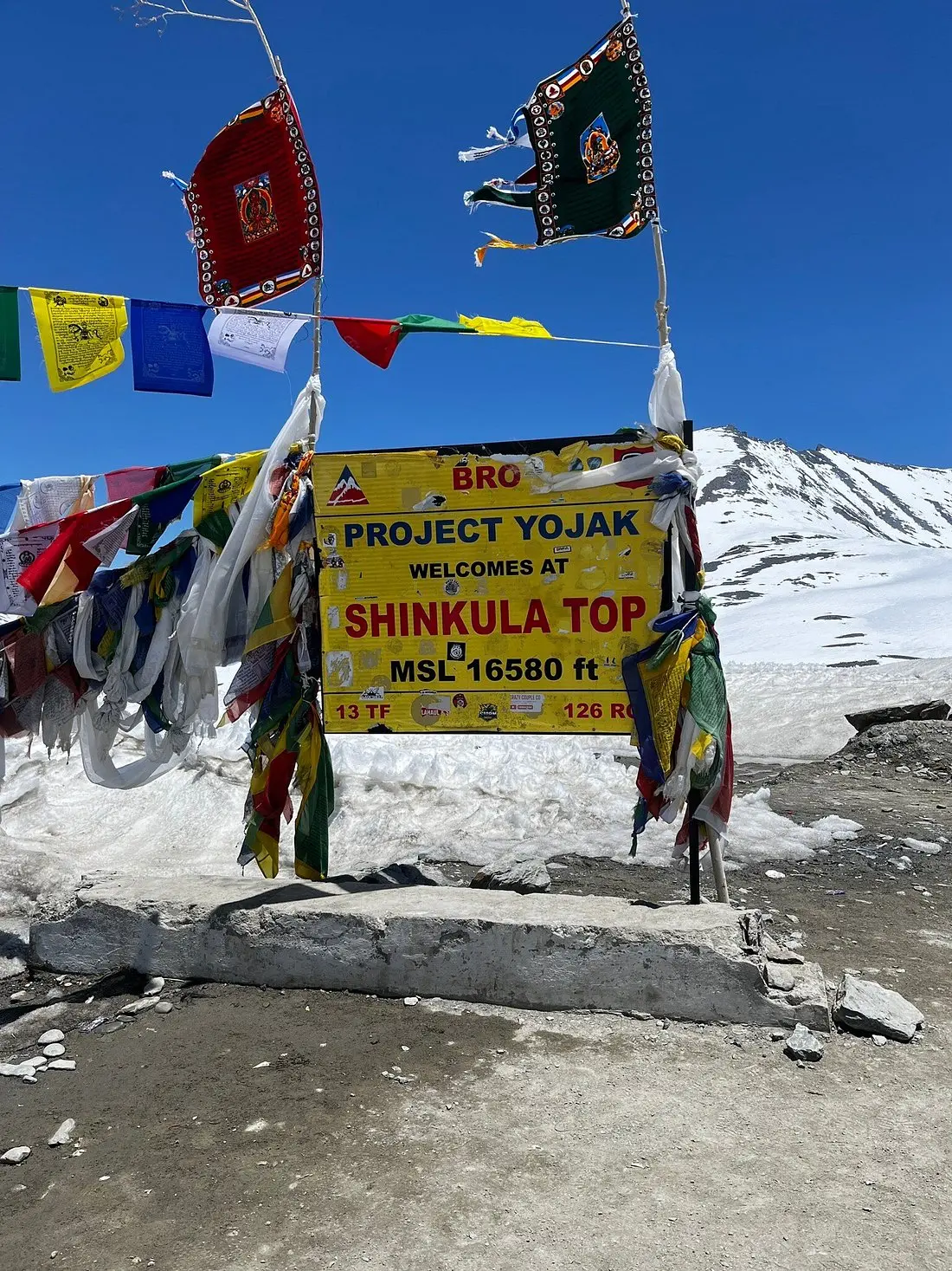
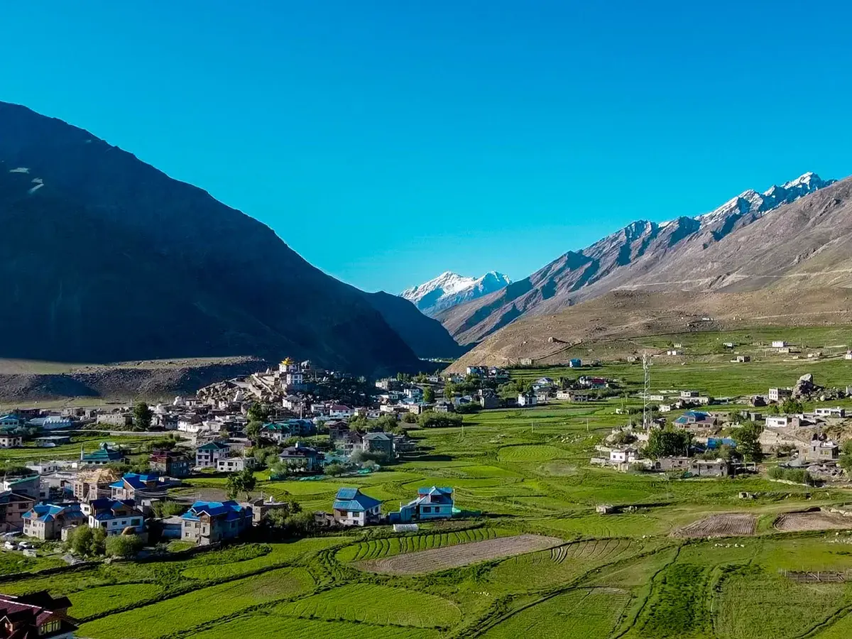
Breakfast at 6 am and roll out at 7:30 am. Only the first 35km is paved road. We will go over Shinku La (16,550 ft). The descent in to Zanskar valley is a lot more interesting. We will take a short break at Lakhang. Then continue to ride between the Kurgiyakh Chu and the base of the holy mountain Gumbok Rangjan. From here the route becomes extremely scenic all the way to Purne.
READ MORE
3.5 km + 3.5 km
Distance
Purne – Trek to Phuktal Gompa
🏁 Starting altitude – 12650 ft
🚩 Ending altitude – 12350 (Phuktal Gompa)
↕️ Elevation change – Nil on return
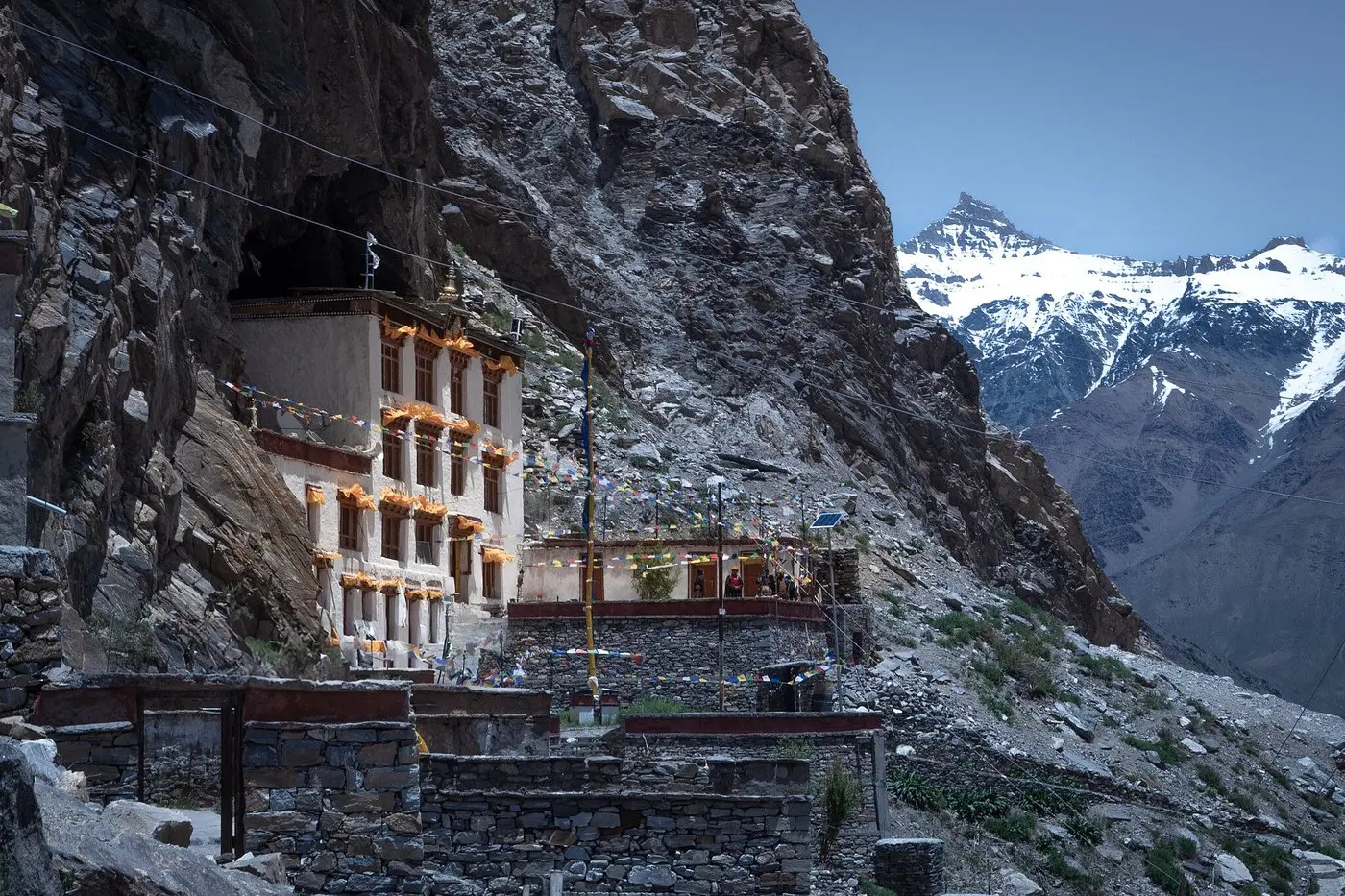
This is a 3.5km trek along the Tsrap River in the Lungnak valley to reach one of the most elusive Buddhist Monasteries in the world. Getting to this 2000 yrs old Cave monastery has been the main attraction of trekkers from around the world. While we highly recommend this trek, guests may also choose to stay back rest at the home stay.
READ MORE
54 km
Distance
4 hrs
Saddle Time
Purne to Padum
🏁 Starting altitude – 12650 ft
🚩 Ending altitude – 11800 ft
↕️ Elevation change – 850 ft
🔝 Max altitude – 16550 ft
🛑 Stoppage time – 2 hrs
Roll out at 8:00 am. Ride to Padum and visit Zanskar’s largest Gompa. The Karsha Gompa is also a superb vantage point to view the entire Padum Valley and the snow-capped mountains beyond it. Padum has 2 petrol pumps, a proper baazar and plenty of cafeterias too. In the past the dirt road from Kargil to Padum was the only road in Zanskar.
READ MORE
160km
Distance
7 hrs
Saddle Time
Padum – Pensi La – Padum
🏁 Starting altitude – 11800 ft
🚩 Ending altitude – 14400 ft (Pensi La)
↕️ Elevation change – 3400 ft
🔝 Max altitude – 14400 ft
🛑 Stoppage time – 2 hrs
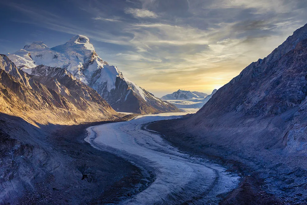
Roll out at 7:00 am. Ride along the Stod River to Pensi La. Charming little villages on the way and spectacular views of Drang Drung Glacier will make this ride totally worth it. This is also good practice to safely ride faster on dirt roads.
READ MORE
Rest day at Padum + visit to Dzonkul Gompa
READ MORE
205 km
Distance
8 hrs
Saddle Time
Padum – Lamayuru via Lingshed
🏁 Starting altitude – 11800 ft
🚩 Ending altitude – 11500 ft
↕️ Elevation change – 300 ft
🔝 Max altitude – 16 590 ft
🛑 Stoppage time – 4 hrs
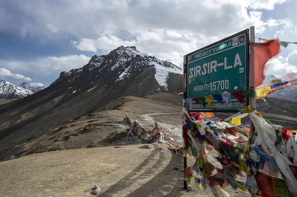
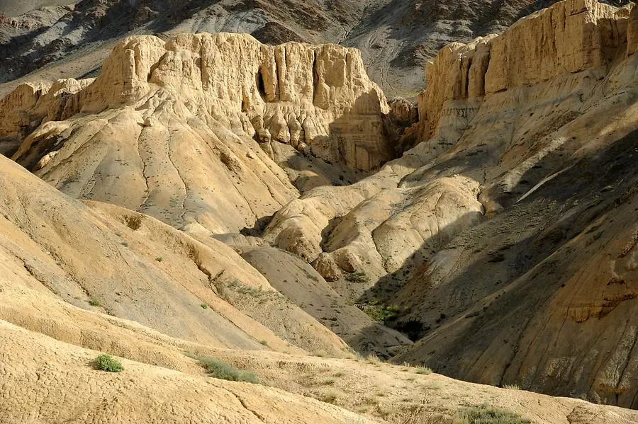
Roll out at 6:00 am. The Strap Chu and the Stod River meet to form the Zanskar River. We will ride along the Zanskar River for about 87km. Then leave the Zanskar gorge and climb up to Margam La. These 11km will be by far the steepest dirt roads you would ever climb. Then we will descend into the Lingshed valley to visit the quaint Lingshed Gompa. After a good break we will start our ride towards two of the world’s most beautiful passes. Singe La and Sirsir La. The adv road eventually turns into super smooth tarmac about 30km before Lamayuru.
READ MORE
115 km
Distance
3 hrs
Saddle Time
Lamayuru to Leh
🏁 Starting altitude – 11500 ft
🚩 Ending altitude – 11480 ft
↕️ Elevation change – 20 ft
🔝 Max altitude – 11650 ft
🛑 Stoppage time – 2 hrs
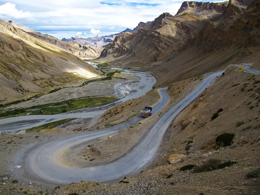
This day’s ride will be on a road that would seem more like a dream than reality. A easy road to ride on after having negotiated some of the most tricky dirt roads of Zanskar.
READ MORE
150 km
Distance
5 hrs
Saddle Time
Leh to Nubra
🏁 Starting altitude – 11480 ft
🚩 Ending altitude – 10110 ft
↕️ Elevation change – 1370 ft
🔝 Max altitude – 18380 ft
🛑 Stoppage time – 3 hrs
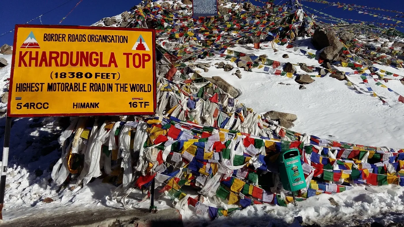
Roll out at 7:00 am. This section is a very popular route and we must start early to beat the traffic of tourist taxis going up to Khardung La. The halt at Khardung La must be limited to 10 mins maximum to keep us happy and well thru the rest of the day. The descent into Nubra valley is spectacular and beyond compare.
READ MORE
187 km
Distance
6 hrs
Saddle Time
Nubra – Pangaong Tso
🏁 Starting altitude – 10 110 ft
🚩 Ending altitude – 14 018 ft
↕️ Elevation change – 3 908 ft
🔝 Max altitude – 14 018 ft
🛑 Stoppage time – 4 hrs
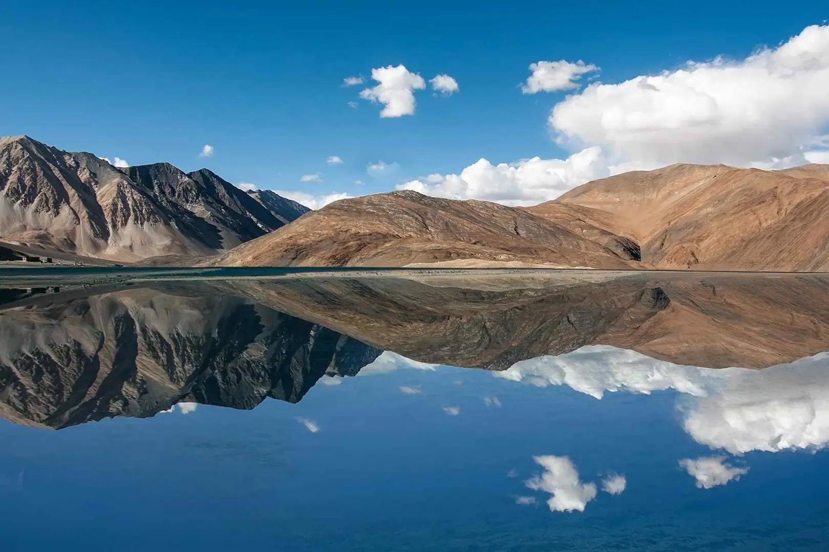
Roll out at 7:30am. As we ride upstream the Shyok River, we will be crossing small enigmatic villages. Be alert and one can spot small herds of Rtsos (Tibetan Antelopes). Eventually reaching Pangong Tso by late afternoon, just in time to see the dance of colours on the lake.
READ MORE
113 km
Distance
5 hrs
Saddle Time
Pangaong Tso – Nyoma
🏁 Starting altitude – 14 018 ft
🚩 Ending altitude – 13 685 ft
↕️ Elevation change – 333 ft
🔝 Max altitude – 15 290 ft
🛑 Stoppage time – 4 hrs
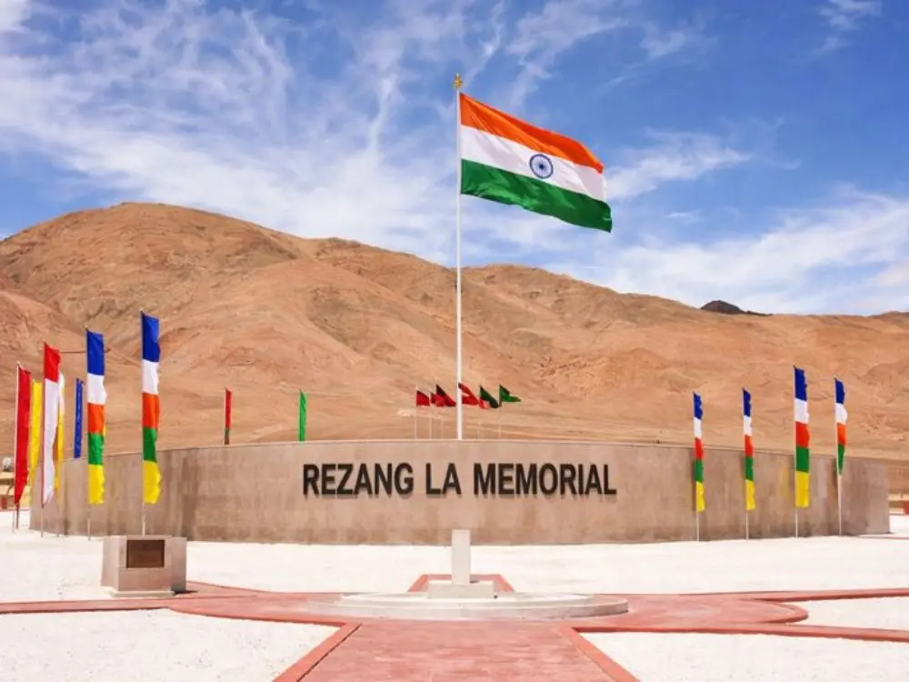
This is one of the remotest routes in Eastern Ladakh that is open to civilians. We will cross Chushul, which was the main target for the PLA to capture in 1962. From Chushul, we will be riding to the Rezang La war Memorial. Also known as Ahir Dham.
On 18th Nov, 1962, 120 soldiers of Charlie Company, 13th Battalion of the Kumaon Regiment, fought over 1000 Chinese soldiers at an altitude of over 18,000ft in sub-zero temperatures, till the last man and last bullet. This war memorial is built in honour of the 115 brave hearts who were lead by Major Shaitan Singh who made the supreme sacrifice for the Nation.We can also see the infamous Spangur from this war memorial.
Riding on the dirt trails of this part of the Changthang is beyond compare, till we reach the Loma Bend and eventually make our way to Nyoma.
READ MORE
220 km
Distance
5 hrs
Saddle Time
Nyoma – Sarchu
🏁 Starting altitude – 13 685 ft
🚩 Ending altitude – 14 150 ft
↕️ Elevation change – 465 ft
🔝 Max altitude – 15 672 ft
🛑 Stoppage time – 2 hrs
Roll out at 7:30 am. The road from Nyoma to Sarchu is fantastic. We will join the Leh-Manali highway at Debring. Cross the More Plains and streams called Whisky Nalla and Brandy Nalla. Then ride down the breathtaking Gata Loops, eventually reaching the tent city of Sarchu.
READ MORE
172 km
Distance
5 hrs
Saddle Time
Sarchu – Manali
🏁 Starting altitude – 14 150 ft
🚩 Ending altitude – 6 750 ft
↕️ Elevation change – 7 400 ft
🔝 Max altitude – 15 910 ft
🛑 Stoppage time – 2 hrs
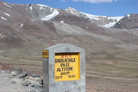
Roll out after the sun comes out and melts any ice on the roads. The climb to Baralacha La is tricky as the road is built on a sinking zone and is very narrow. One needs to keep cool and patiently wait for heavy vehicles to give way for us to overtake. On reaching Manali, the buzz of activity and the sea of humanity will look very strange after spending two lovely weeks in Ladakh.